Posted On: 09/30/2013 11:37:44 AM
Post# of 8059

good to hear-maybe somebody soon will take a camera w telephoto or zoom lens or multiple lens to give us some new pics, as a good portion of the mine is easily viewable from the highway which it borders ca 55 miles from Ensenada- best map I've seen of the entire area is the national geographic baja north adventure map # 3103 1;450,000 scale
ca 26 in this pre- Brad pic, plus mgmt would add some
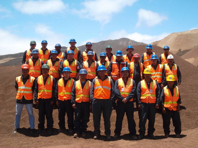
ca 26 in this pre- Brad pic, plus mgmt would add some