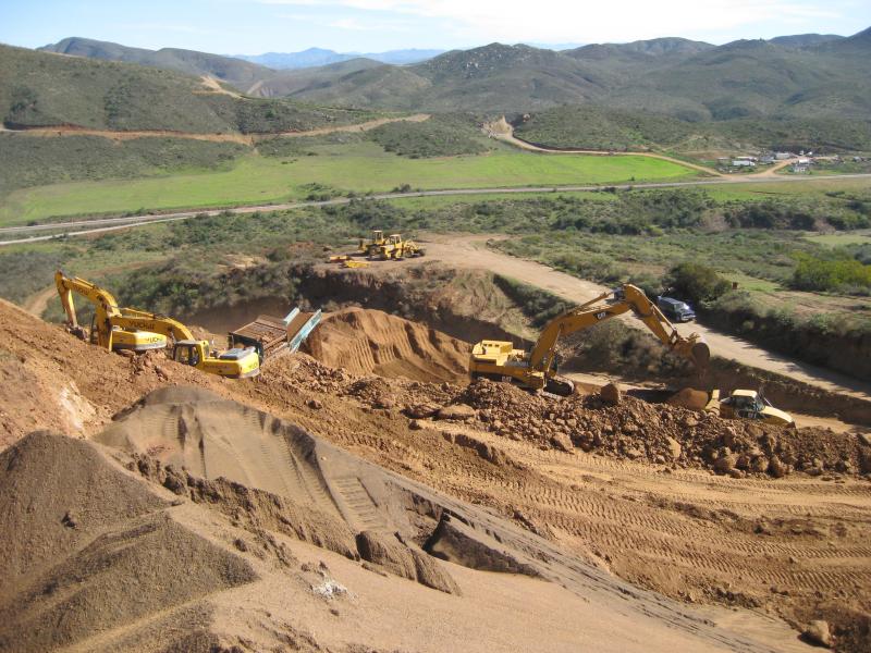
This is the lowest part of the mine that we know of near hole 70 on the graphic I just posted, looking west to the ocean 7 crow miles W across the coastal range in the background-can also see the road entrance to CWRN mine on the left-this is only ca 5.5 miles from the Baja interstate hwy 1 to the N (the right) -a direct route to port of ca 55-60 miles.
Erendira is only ca 9 road miles to the left,which proceeds SW and then W to the ocean where, you guessed it, Navial planned a ship loading station long before buying majority shares of CWRN in May.


 (0)
(0) (0)
(0)