Badger - throw a dart at the list of mining opera
Post# of 2070
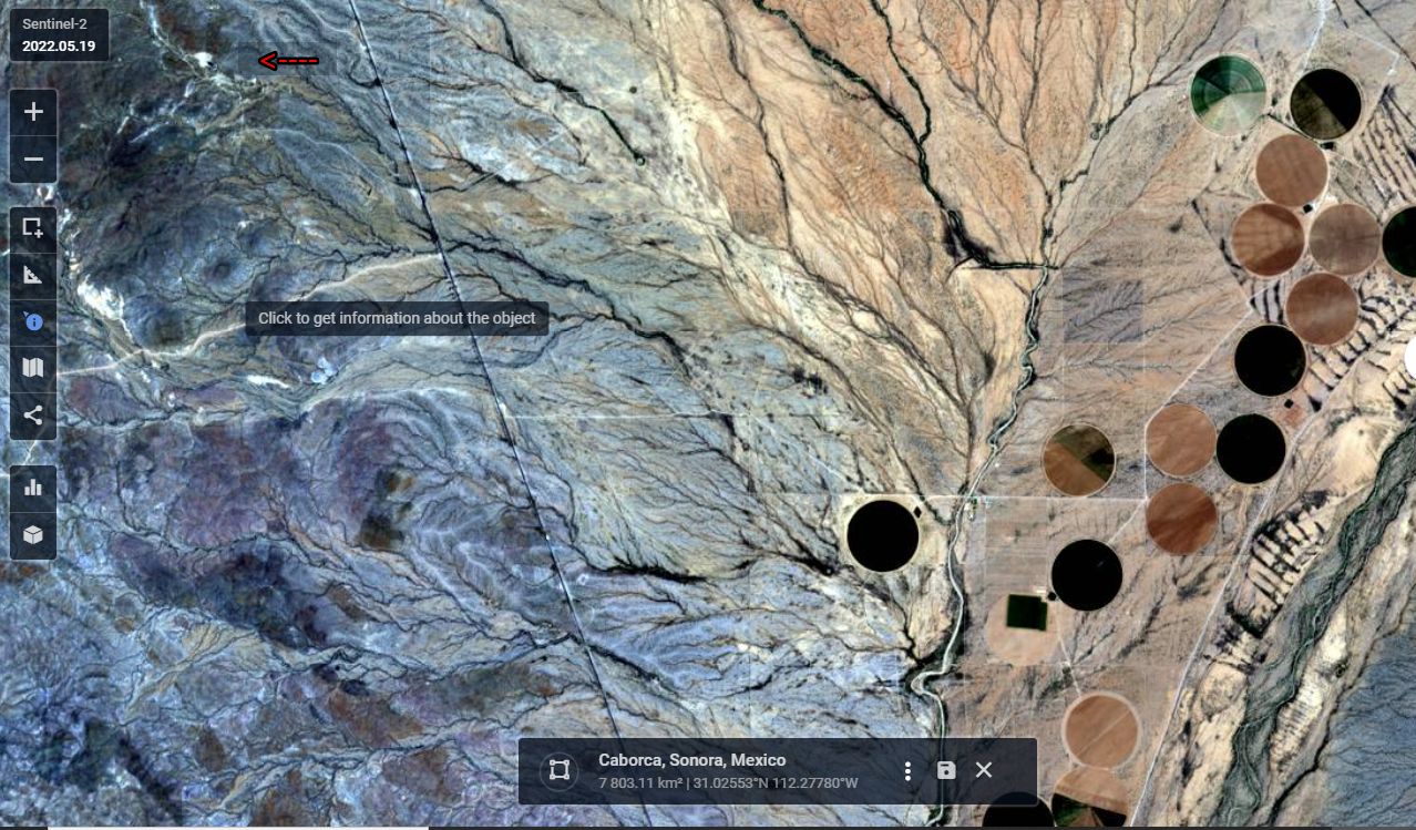
For general information here's a wider view of the section of Hiway 2 showing the Santa Elena ops area at upper left - adjacent to the red arrow - pretty small footprint in this wide view. Highway 2 runs along the east boundary of Mexus' claim and in fact the claims also extend a short distance east of the highway at the north part of this image.
To the east of Hiway 2 and south of the Mexus access road several circular, center-pivot irrigated fields are promient and show up in varying shades from black to light brown or light green depending on state of moisture and crop development. These shades vary almost daily with irrigation, planting and growth cycle of the crops. Point here is the difference of wet versus dry and later green up and degee of cover of the ground by foliage. Lighter is dryer in color. Aspargras is an important crop in the Caborca area but I'm not sure what crops are in these fields. Amazing that enough underground aquifer water is available in this desert to permit seasonal irrigation. In other areas ditch irrigation is more common. When under active cyanide irrigation the Santa Elena leach pad has the dark coloration of this irrigated ground. My interpretation.

 (1)
(1) (0)
(0)