I have found the key to inserting images here. The
Post# of 2070
The European Space Agency generously provides this data free in near real-time. The best way to compare current and past images is by using the comparison slider tool at upper right on the website.
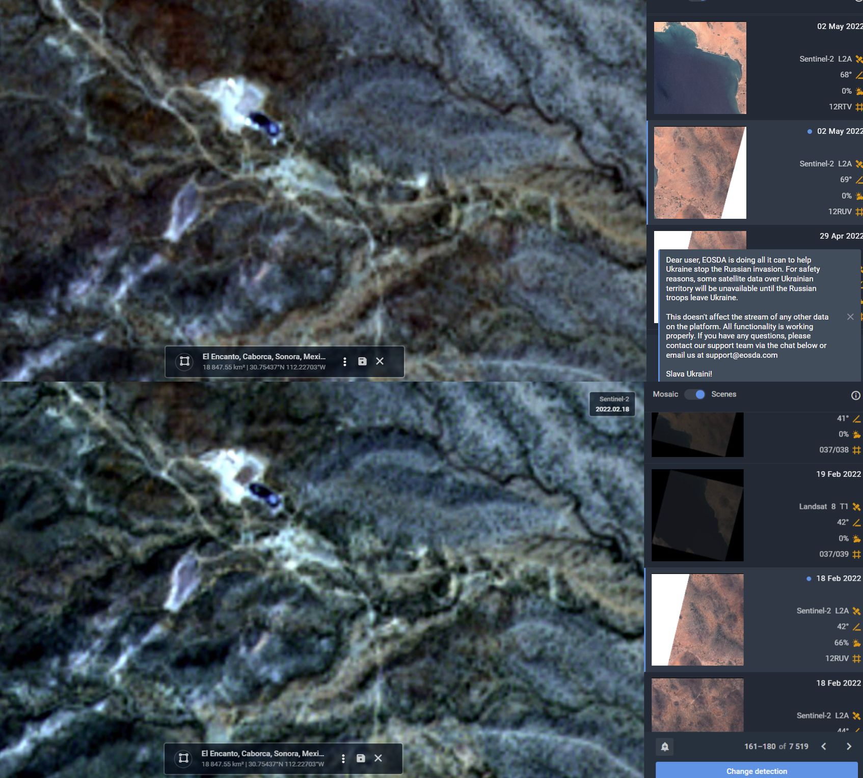
This image pair is another comparative showing the ops area yesterday, 2 May 2022, in the upper panel vs 18 Feb 2022 in lower panel.
I won't characterize what is happening with the pads but a change is evident. There were occasional cloudy days in Feb, Mar, April so I can't say with any certainity when the character of the pad changed. Hi cirrus clouds, sun angle, satellite subpoint and "look angle" can also alter the appearance of features on the ground. This is Sentinel II imagery. I can't get anything useful from the Landast images. I won't post future images unless something markedly different occurs.

...
 (0)
(0) (0)
(0)