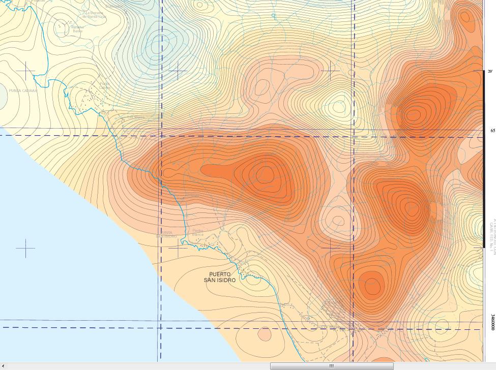
puerto san isidro is settement to N of ernedira -bochan erenedira to s of our erendira 1'' above bottom of the map- still doesnt show San Vicente River at this scale -can see road to CWRN mine that eventually forms the W border of mine but road incongruously goes off map here and never reappears on map -illogical because on adjacent H11B33 San Vicente 50k quad road is to west of map-as if there was an intervening quad map between these two 50k quads but there is none, as the reference localization shows, which wouldnt copy w the map
for further info would have to laboriously compile scraps of topo info from previous posted mine etc maps for additional reference points-Im not that crazy-not today anyway


 (0)
(0) (0)
(0)
 (0)
(0) (0)
(0)