Posted On: 09/11/2013 12:38:14 PM
Post# of 8059

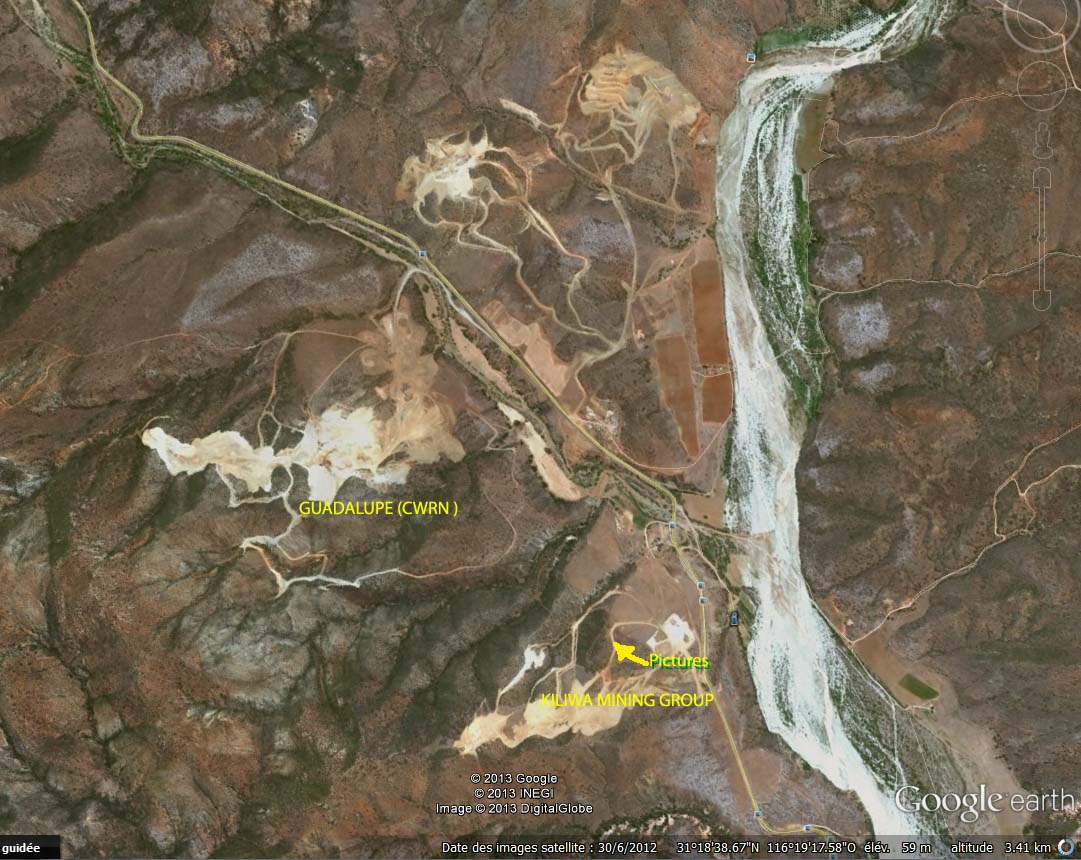
The last reported google image we have of the mine is this june 30 2012-west /right of the road is the mine that folded after only ca 1 year becuse its not easy as it looks,as many discover
Navial began buying their 1.2 million acres plus concessions 2008 or before and we posted in May or June a 2010 NI- 43 -101 report (since Navial HQ is Canada) of some of Navials concessions.
CWRN is surrounded on ca 2 sides by Navial- madflight apparently superimposed KMG script on this map-which is Navial,where they were preparing for production
Navial has very big plans as we have posted from Navials website, including their own ship loading station to service their massive concessions
big river is the San Vicente River/wadi which empties into the ocean ca 7-10 miles away on S border of Erendira,near where a planned ship station would be

