Investors Hangout Stock Message Boards Logo
  • Home
  • Mailbox
  • Boards
  • Favorites
  • Whats Hot!
  • Login - Join Now!
Cotton & Western Mining In CWRN
(Total Views: 673)
Posted On: 08/19/2017 2:56:05 PM
Post# of 8059
Avatar
Posted By: microcaps
208216962_ScreenShotbajanatgeomap.jpg

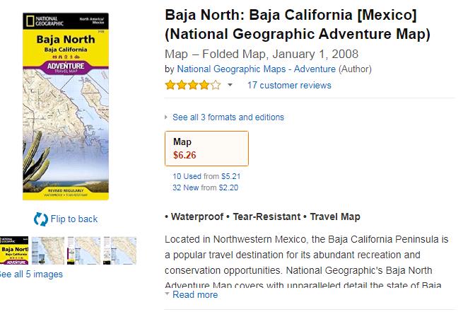
this is the one- good all purpose map-covers all of north baja and some of south baja

the ensenada 250k topo should cover baja 14

if you love desert and like walking on the wild side and the vagaries of the mexican legal system i'd say go for it

actually there should be some very nice scenery,land ,astronomical observatory and hiking in the sierra de san pedro martir park-where enchanted peak is located-84 crow miles SES of ensenada and 49 crow miles SE of San Vicente

remember each 1000 ft of elevation is equivalent to going 600 miles north and each 1000 ft of elevation is 5.4 degrees cooler-so by climbing you can escape the surrounding desert and find pine etc forests


(0)
(0)


  • New Post - Investors HangoutNew Post

  • Public Reply - Investors HangoutPublic Reply

  • Private Reply - Investors HangoutPrivate Reply

  • Board - Investors HangoutBoard

  • More - Investors HangoutMore

  • Keep Post - Investors HangoutKeep Post
  • Report Post - Investors HangoutReport Post
  • Home - Investors HangoutHome
  • Mailbox - Investors HangoutMailbox
  • Boards - Investors HangoutBoards
  • Favorites - Investors HangoutFavorites
  • Whats Hot! - Investors HangoutWhats Hot!
  • Settings - Investors HangoutSettings
  • Login - Investors HangoutLogin
  • Live Site - Investors HangoutLive Site