(Total Views: 1183)
Posted On: 08/19/2017 2:17:52 PM
Post# of 8059

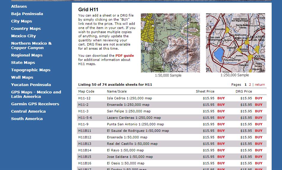
the ensenda or lazaros cardenas(would need to refresh my memory re exactly where that is) 250k topos may cover baja 14
usa state base maps are sometimes 1:500,000 scale
the national geographic 3103 baja north adventure travel map i have is 1:450,000 scale
i miss the days when i could hike 26 miles while climbing 3000 vertical feet and not even be tired-the wonders of youth-youth often arrogantly think they will never lose that ability
remember the tallest mountain in baja -aptly named devils peak -or for tourist purposes the more welcome name of enchanted peak