Posted On: 03/25/2015 3:24:05 PM
Post# of 8059

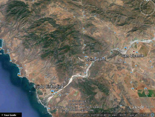
in image below CWRN is near where the 'g' in 'going east' is so you can see that the coast hugging coastal range which normally protects CWRN from storms is the only thing that separates from Erendira /coast
hwy 101 'interstate goes thru San Vicente town- you can tell where the paved secondary hwy from 101 thru CWRN to Erendira is by the 'pins' on the map
my PC skills arent good enough to consistently post a live link which might actually be easier than the many steps to post this
hwy 101 'interstate goes thru San Vicente town- you can tell where the paved secondary hwy from 101 thru CWRN to Erendira is by the 'pins' on the map
my PC skills arent good enough to consistently post a live link which might actually be easier than the many steps to post this