Posted On: 12/03/2012 8:24:27 AM
Post# of 8059

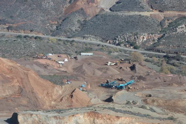
A larger aerial view of the mine from over a year ago-many of these pics are also in Max's excellent dd summary in the stickies. Laydown yard in center-highway to Hwy 1 5 miles distant behind it- and the neighboring mine which closed in background across the highway -CWRN added land to concession ca Sept 2011 presumably along the strike length of the Coloso-see Sept 2011 PR-just prior to beginning new deeper drill holes 69-73 on the Coloso and in the process discovering a 5th vein (the Samson)-not 1 dry hole yet-and never ran out of iron in the deeper holes either.